Anticipate a cold weekend, with light snow possible on Sunday across Indiana, though most areas will likely see less than an inch.
INDIANAPOLIS — This weekend marks the return of cooler temperatures, with daytime highs hovering around freezing for two days. By mid-week, warmer conditions are set to prevail, bringing potential showers on Wednesday and Thursday.
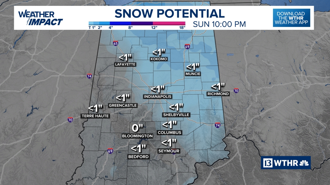
On Sunday, certain regions, including Indianapolis and points northeast, might experience light snowfall resulting in minor accumulations.
TONIGHT
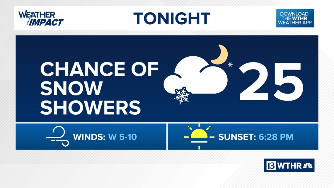
Snow showers are possible tonight, with temperatures dipping to around 20 degrees. Significant accumulation is not anticipated.


SUNDAY
Sunday morning and midday may see scattered snow showers. Minor snowfall accumulations are forecast for areas stretching from Kokomo to Marion and Muncie, as well as from Indianapolis to Richmond.

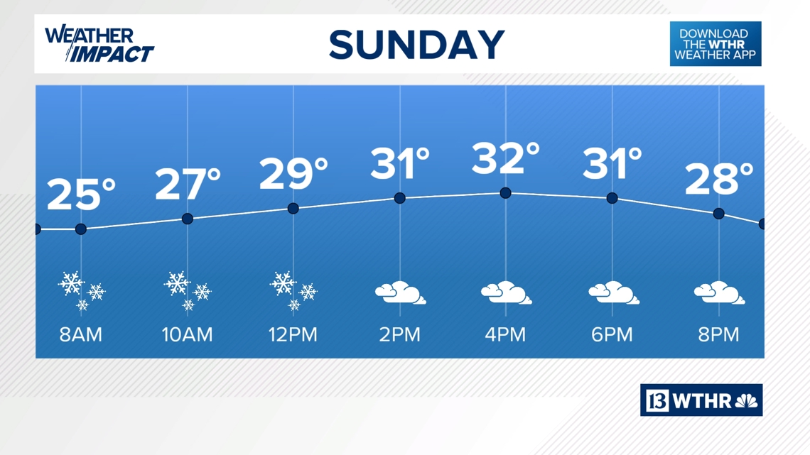
Overall, less than an inch of snow is projected, with areas further north and east of Indianapolis potentially receiving closer to one inch.

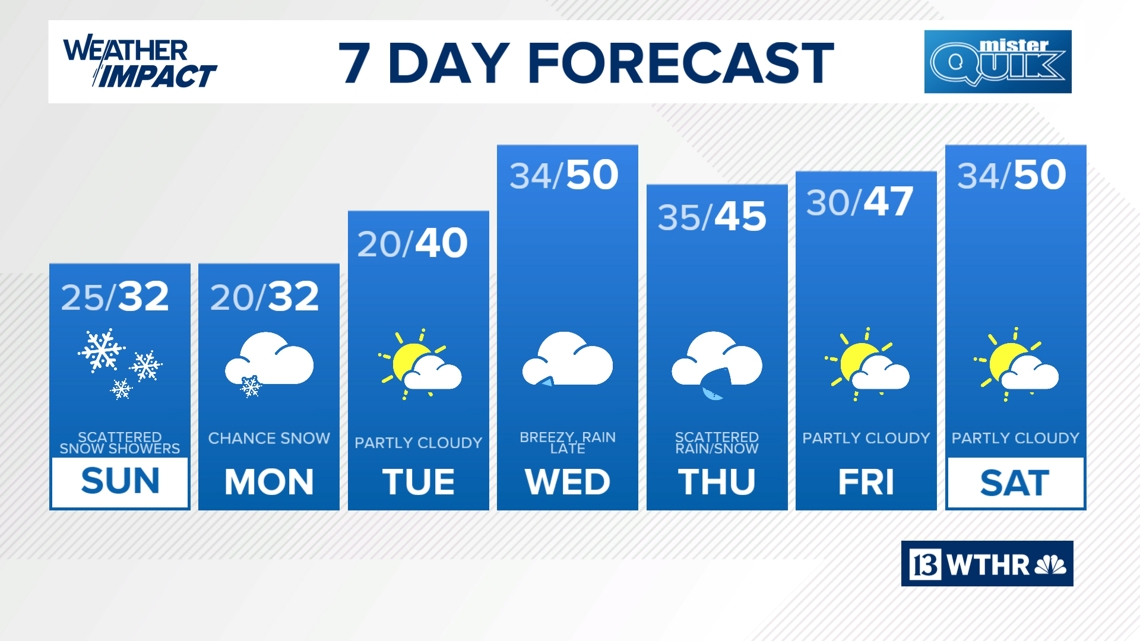
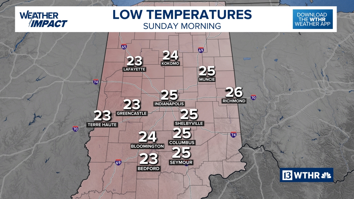
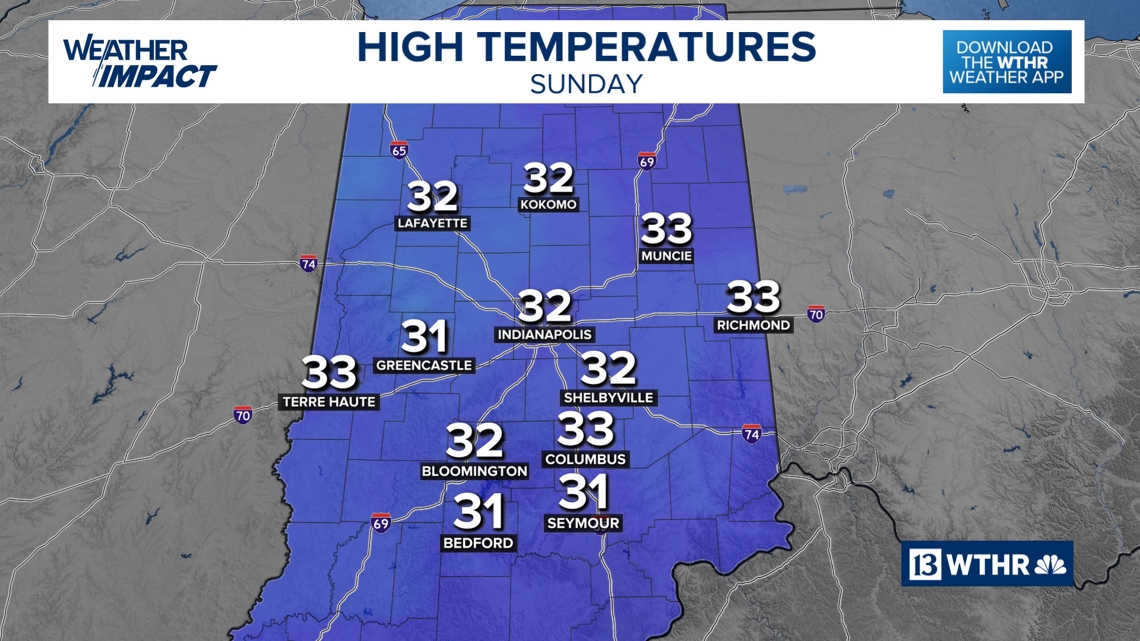
Daytime temperatures will stay around freezing, while overnight lows will settle near 20 degrees. While a few afternoon snow showers are possible, further accumulation is unlikely.

MONDAY
Monday brings a slight chance of snow showers, with predominantly cloudy conditions otherwise.
Expect highs to remain near freezing, with lows around 20 degrees.
TUESDAY
Tuesday will be marginally warmer, featuring a mix of sunshine and clouds. Highs are anticipated to reach 40 degrees, and lows will be somewhat milder, remaining just above freezing.
REST OF NEXT WEEK
By Wednesday, temperatures could climb near 50 degrees, accompanied by scattered showers. Expect breezy weather ahead of a cooler air mass moving in on Thursday.
Thursday may see mixed rain and snow showers. Friday is expected to bring some sunshine, with highs reaching the upper 40s.