AFTERNOON/TONIGHT: This afternoon will see a continuation of mostly sunny skies and mild conditions. As night falls, expect clear skies and gentle winds. Overnight lows are projected to drop into the teens and single digits.
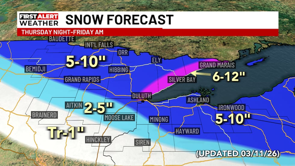
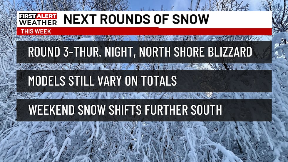
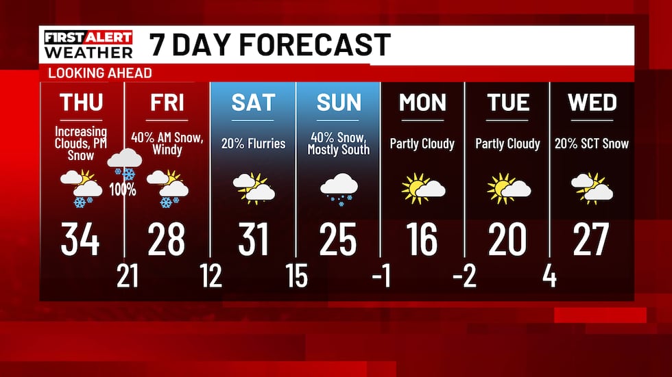
THURSDAY: Thursday morning will begin with sunshine, but clouds will steadily increase throughout the afternoon. By 3 PM, snow showers are expected to start moving in from the southwest. Snowfall will intensify significantly in the Ports area after 5 PM. Moderate to heavy snow will persist through the night. East winds will be sustained at 15-35 mph, with gusts reaching up to 45 mph. These conditions will likely create blizzard warnings along the North Shore and potentially near the head of the lake. Overnight snow accumulations are anticipated to be 5-10 inches across much of the region, with lesser amounts further south. The North Shore could experience 6-12 inches of snow.
FRIDAY: Friday morning will feature lingering snow showers that will gradually subside from west to east through the day. Skies will also begin to clear. High temperatures will range from the upper 20s to lower 30s, accompanied by breezy northwest winds at 10-20 mph.
SATURDAY: Saturday appears mostly calm, with partly sunny skies and a slight chance of light flurries to the south late in the day. Highs will be in the upper 20s to lower 30s, with southwest winds. The probability of snow Saturday night into Sunday has decreased, as models currently show the heaviest snowfall remaining concentrated over Southern Minnesota. However, the situation could still shift, so please stay tuned for further updates regarding this system.
Click here to download the Northern News Now app or our Northern News Now First Alert weather app.
Copyright 2026 Northern News Now. All rights reserved.