Patchy fog, dense in some areas, is present this morning as warmer air moves into Southeast Michigan.
Temperatures today will vary. Most areas will see 50s, with potential 60s to the west, while 40s persist in the north and east. A sunset temperature overview is provided.
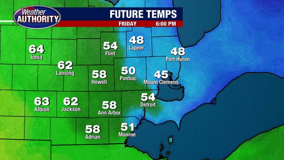
Significant warmth will arrive overnight, with temperatures approaching 60 degrees by Saturday morning.
Thunderstorm Outlook
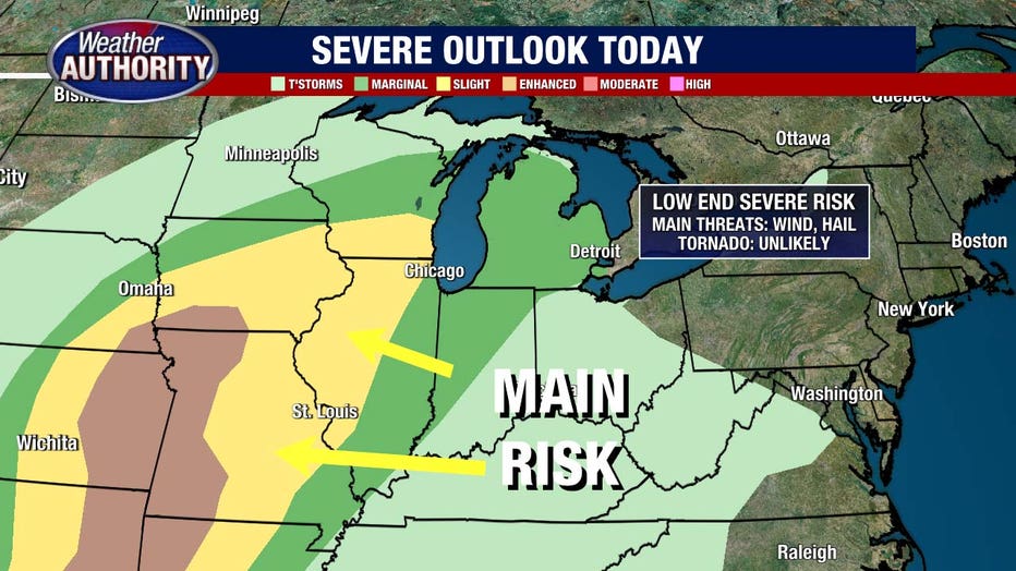
Today is expected to be mostly dry, with only a slight chance of an afternoon storm.
More widespread storms are likely tonight and into Saturday. While the severe weather risk is low, it’s not non-existent. There’s a marginal risk, primarily concerning hail, strong winds, and isolated flooding.
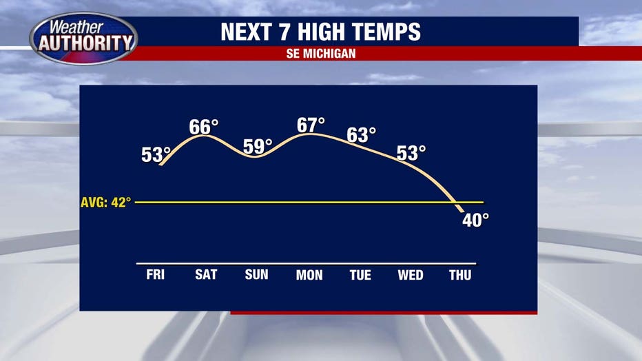
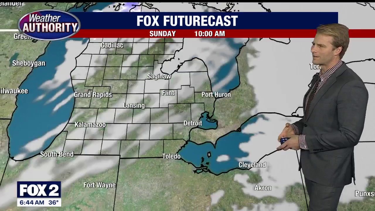
Sunday will see cooler temperatures, but it remains the best day of the weekend, offering sunshine and 50s. Expect some breezy conditions and the usual adjustment to Daylight Saving Time after losing an hour of sleep Saturday night.

Monday will bring rising temperatures and a break from rain.
Tuesday may see showers, which are more probable on Wednesday, followed by a drop in temperatures.